El Paso Weather: ‘Winter Mix’ to Drop In Tuesday – Is Snow Possible?
All aboard the El Paso Weather Roller Coaster. Your attire over the next several days will likely range from hoodies to puffy jackets to rain gear as Mother Nature runs the gamut from sunny and cool to what they call ‘a wintry mix’.
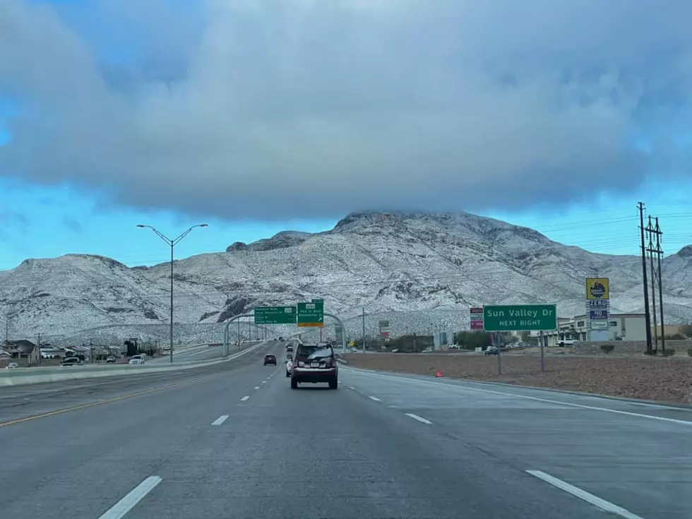
Parts of the El Paso area might even experience snow showers, according to the National Weather service. At this point, a wintry mix of rain and flurries is most probable Tuesday night.
A pair of storm systems will move through the Borderland over the next several days creating breezy to windy conditions & periods of precipitation. For now, most of the snow will remain in the mountains, but we'll have to closely watch the stronger system on Monday/Tuesday as it may bring heavier snow totals to the mountains, as well as the possibility of snow showers in some of the lowlands. – NWS EP
Here's how I understand the week of Sunday, January 24, to Friday, January 29, will play out, per the television weather people:
The skies will turn cloudy and the winds will kick up on Sunday as another cold front greets us. Temperatures will drop about 10 degrees from Saturday, and the possibility of rain will go from none to slight. It will remain cloudy and in the 50s through Tuesday, which is when a much colder system arrives plunging temperatures another ten degrees, into the mid-40s.
Tuesday is when we can expect the wintry mix. There is also a 100 percent chance that Tuesday is the most likely day I will be found hunched over a steaming bowl of caldo de res.
Things will start warming up on Wednesday and the sun will return, and by Friday temperatures will be back into the upper 60s. And I will still be dining on caldo, because it could be the 105 in the middle of an El Paso summer and I’m still down to slurp. Yup, I’m that guy.

LOOK: 50 Famous Brands That No Longer Exist
More From 600 ESPN El Paso