Winter Weather Is Coming To El Paso Just In Time For Christmas
CHRISTMAS IS COMING!!! And apparently Mother Nature got the memo and decided to grace the borderland with winter-like weather a day AFTER the official start of the Winter season (December 21st) but hey, it’s just in time for Christmas so we will take it.
Will this be the year we get a white Christmas? Probably not but you can bring out the winter gear if you plan on being out and about doing your last minute Christmas shopping.
HERE COMES THE WIND:
Tie down those Christmas decorations because a cold front is expected to arrive Thursday evening. Wind gusts of up to 35-40 mph are expected Thursday night.
BELOW FREEZING TEMPERATURES ARRIVE:
This cold front will also drop overnight lows to below freezing!
Overnight lows are expected to reach the mid 20s Friday morning making for a very cold start to your Friday!
According to the National Weather Service, this cold front will be bringing the coldest air of the season so far and dangerous wind chills for some parts of town.
A COLD CHRISTMAS EVE:
The cold front will keep afternoon highs for Friday to the upper 40s. Yup, our afternoon highs are going to start looking like our overnight lows.
Christmas Eve’s afternoon highs will also remain in the 40s. Christmas Day will have afternoon highs in the 50s but will have windy conditions.
DON’T FORGET THE 4 P’S:
When temperatures drop down to below freezing always remember:
- Pets: Bring your pets inside because they deserve to stay warm like you!
- People: Check on neighbors who may not have a working heater in their homes.
- Pipes: Cover those pipes to prevent any damage or bursting!
- Plants: And bring your precious plants inside or cover them to prevent them from freezing!
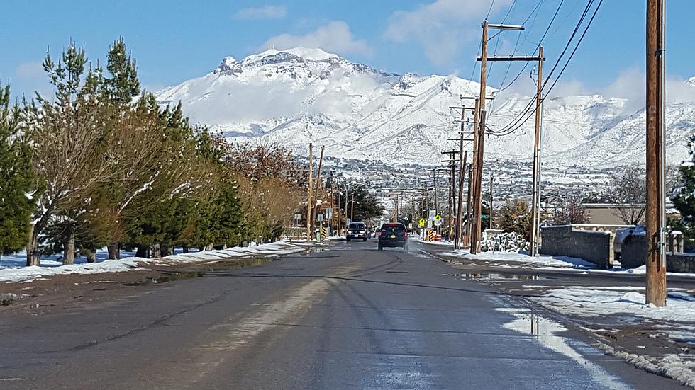
El Paso's March Snowstorm
More From 600 ESPN El Paso