Know Why The Rio Grande Dries Up Every Year?
The mighty Rio Grande is just that, "grande" ... everywhere except El Paso anyway. We have a big hiking trail most of the time. Here's when we'll, (probably), get our river back.
The Rio Grande stretches for about 1,900 miles across the United States of America, from Colorado to the Gulf of Mexico. Along the way, it reaches some epic proportions in width, depth and scenery. Between Cruces and just past far east El Paso though, notsomuch
Thanks to dams at Elephant Butte and Leasburg, the Rio dries up for about half the year. Any water found in it is either because of rain, a spill or a leak somewhere.
That wasn't always the case. Once upon a time, the Rio flowed freely from Colorado to the Gulf Of Mexico and was, like nature in general, very unpredictable.
It could change course and/or flood at will, often displacing or drowning animals and humans not ready for its strength or aware of its multiple personalities. Sudden undercurrents and sinkholes still claim lives to this day.
Flooding, especially in 1897, in the Upper Valley led to the creation of the Kern Place area and the Rios' habit of changing course brought about the Chamizal treaty and memorial.
When Do We Get Water Back In The Rio Grande?
The dam at Caballo Lake slows the flow to a trickle starting around August-September and then in the Spring, June-ish, water is released giving us our river back.
That is assuming of course that there is actually water in the river above us to feed the reservoirs north of El Paso near T or C and outside Las Cruces.
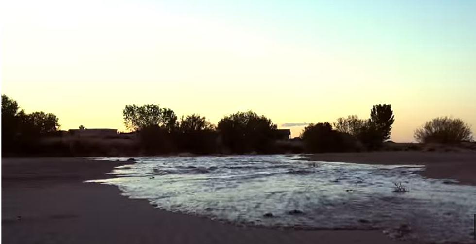
This is done to conserve water and get it to farmers and other users fairly when irrigation season is on. Check out the filling process:
Hang in there folks. Pretty soon, snow up north will start to melt, that water will flow to the nearby reservoirs and sometime after that will finally return to the dry river beds of El Paso.
Let's hope for a really wet winter and lots of snow melt coming our way. The river is so much fun when it really is one ...
